15
2026.05
10
2025.12
21
2025.07
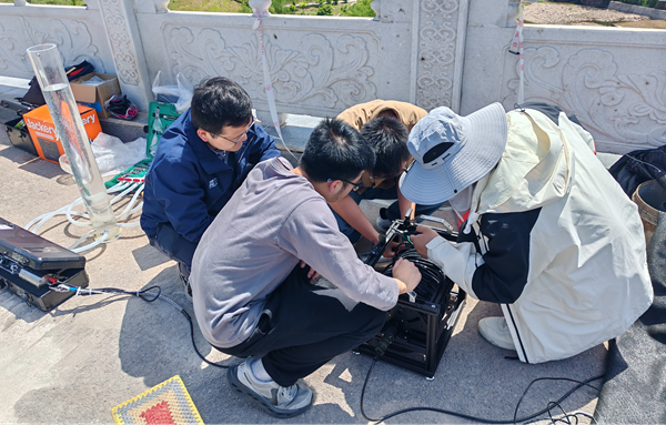
Field Demonstration of 150m-1° Micro Flow Field Leakage Monitoring...
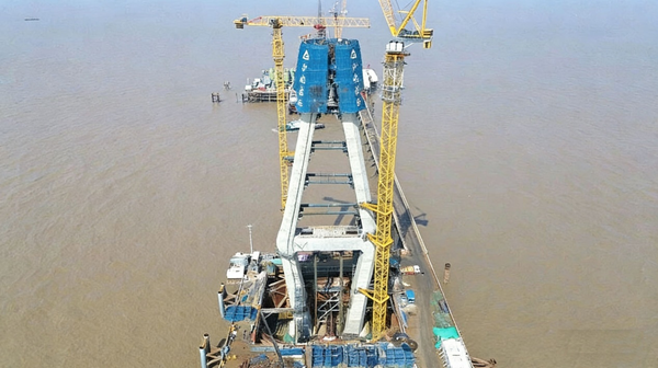
Nanjing R&D Hi-Tech Co., Ltd. Supports Closure of South Tower Legs...
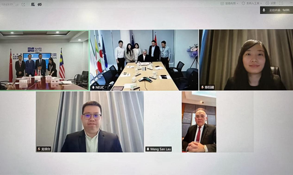
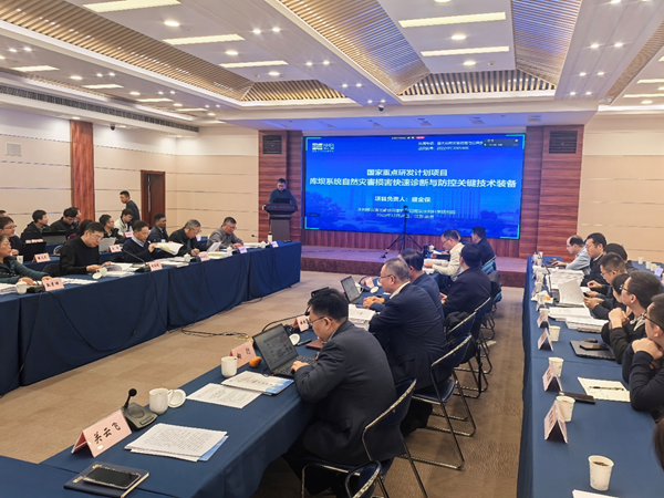
"Key Technologies and Equipment for Rapid Diagnosis and Prevention...